 you are not logged in

![]()
![]()
![]()
 EEA: New water maps published
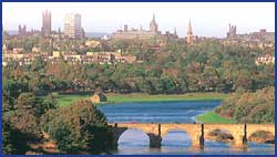
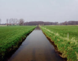
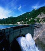
The European Environment Agency (EEA) has published a series of updated maps detailing water quality parameters in various receiving waters across Europe.
The data also includes information on urban wastewater treatment and receiving areas sensitive to eutrophication.The maps are aimed at water professionals who need a European overview of water issues, or anyone with an interest in the environmental issues affecting their local river, lake or sea.Four data sets have been updated: transitional, coastal and marine waters; rivers and lakes, with a new function for quickly shifting between maps for different pollutants; groundwater, with a new function allowing users to get national-level overviews for different years; and urban waste water, including more detailed designation criteria for sensitive areas.There is also an updated and improved Geographic Information System (GIS) reference layer for river basin districts reporting under the Water Framework Directive.
To access the maps, click here .
| Contact information | n/a |
|---|---|
| News type | Inbrief |
| File link |
http://www.eea.europa.eu/highlights/water-quality-and-wastewater-treatment |
| Source of information | http://eep.org/Newletter/Test-(1)/Articles/New-water-maps-published.aspx |
| Keyword(s) | EU-WFD |
| Subject(s) | ANALYSIS AND TESTS , CHARACTERISTICAL PARAMETERS OF WATERS AND SLUDGES , DRINKING WATER , DRINKING WATER AND SANITATION : COMMON PROCESSES OF PURIFICATION AND TREATMENT , INFORMATION - COMPUTER SCIENCES , MEASUREMENTS AND INSTRUMENTATION , METHTODOLOGY - STATISTICS - DECISION AID , PREVENTION AND NUISANCES POLLUTION , SANITATION -STRICT PURIFICATION PROCESSES , SLUDGES , WATER QUALITY |
| Relation | http://water.europa.eu/ |
| Geographical coverage | n/a |
| News date | 11/08/2011 |
| Working language(s) | ENGLISH |
